Our Services
Comprehensive built-environment intelligence services across design, construction, and operations. From initial concept through facility management, we ensure accurate information flows throughout the asset lifecycle.
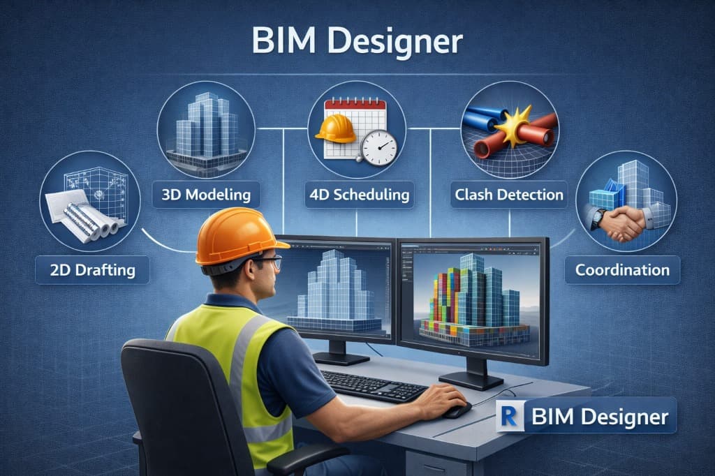
BIM Design & 3D Modeling
Accurate building models that enable coordination across disciplines. Reduce rework by identifying design conflicts early and ensuring all teams work from a single source of truth.
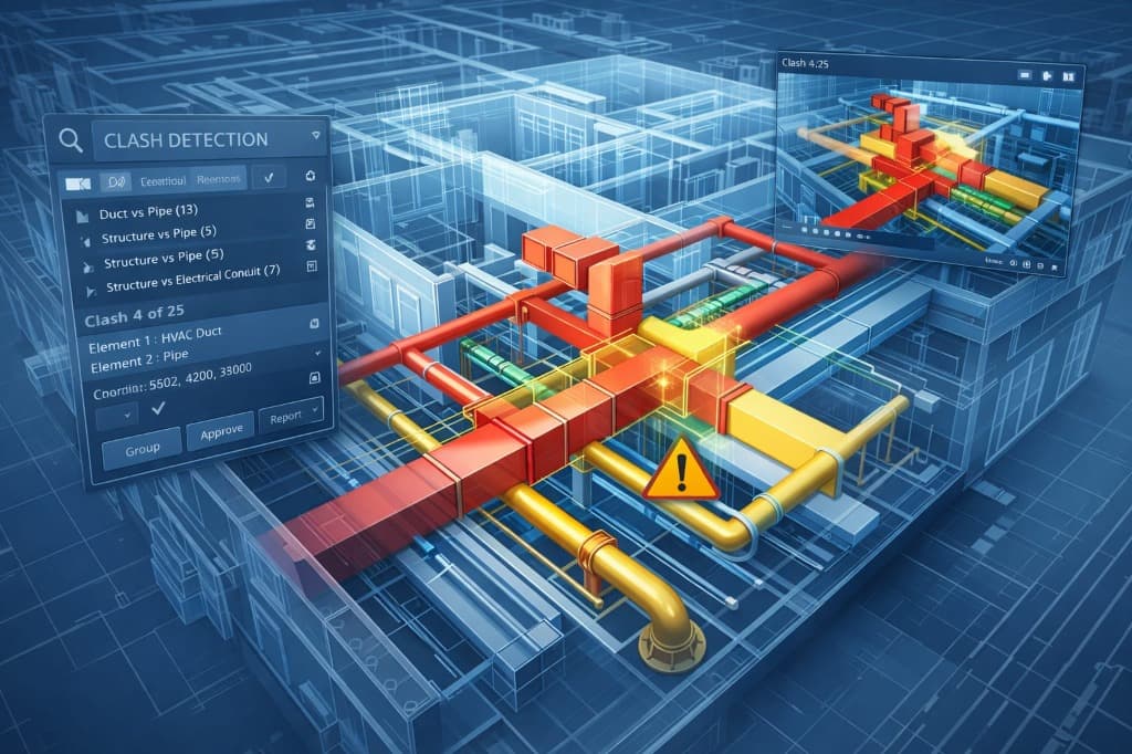
Clash Detection & Coordination
Identify spatial conflicts between building systems before construction begins. Prevent costly on-site rework and schedule delays through systematic clash resolution.
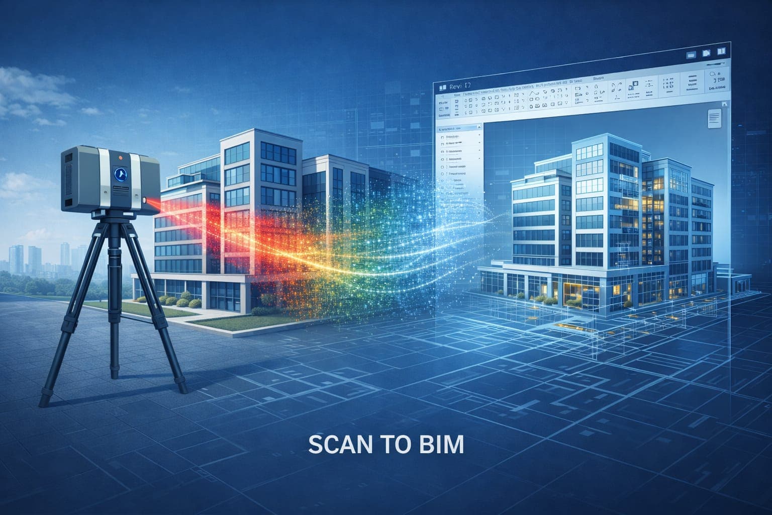
Scan to BIM (LiDAR)
Convert existing conditions into accurate as-built models using laser scanning. Essential for renovation, retrofit, and facility management projects.
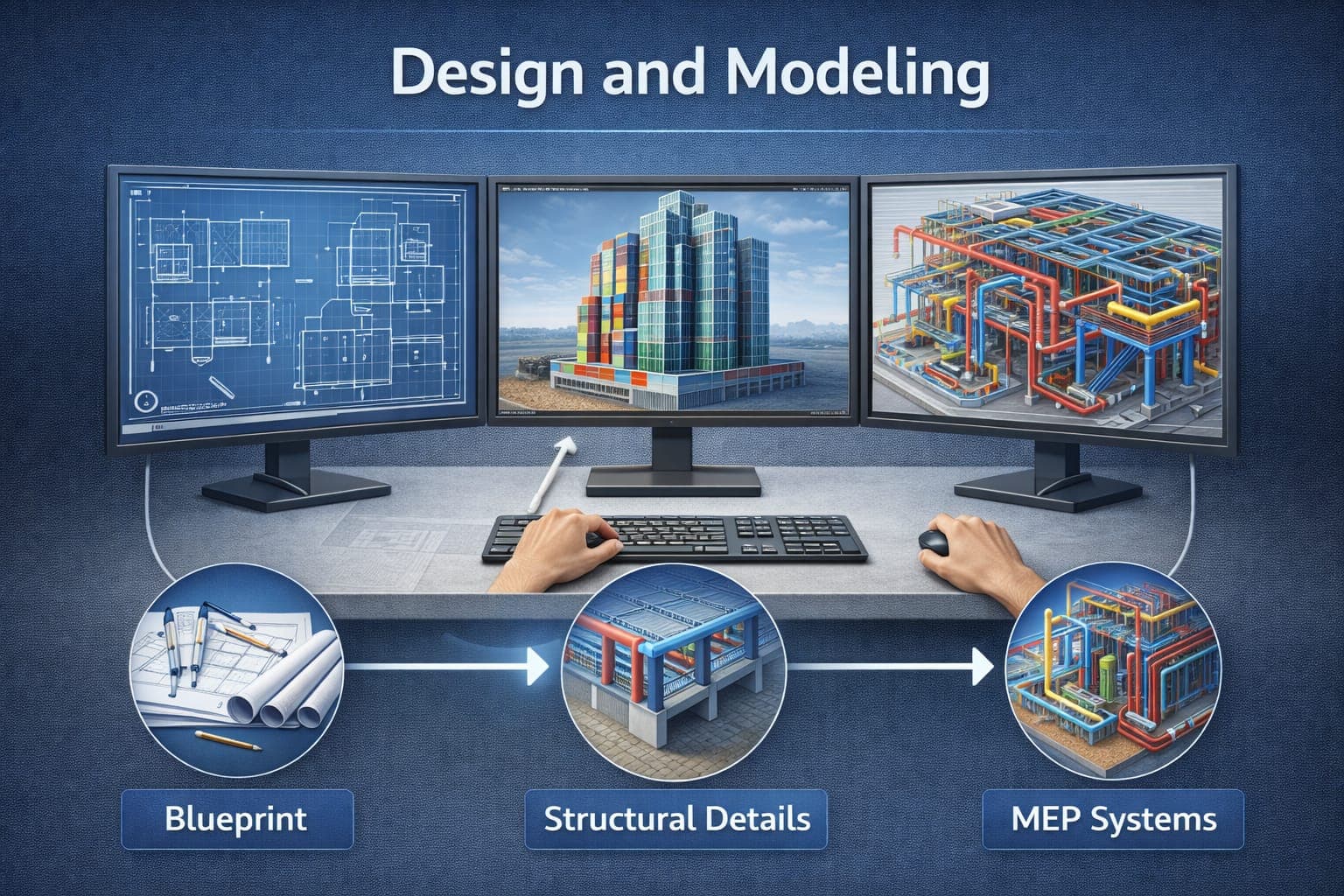
CAD to BIM Conversion
Transform legacy 2D drawings into intelligent 3D models. Modernize project documentation and enable BIM workflows for existing projects.
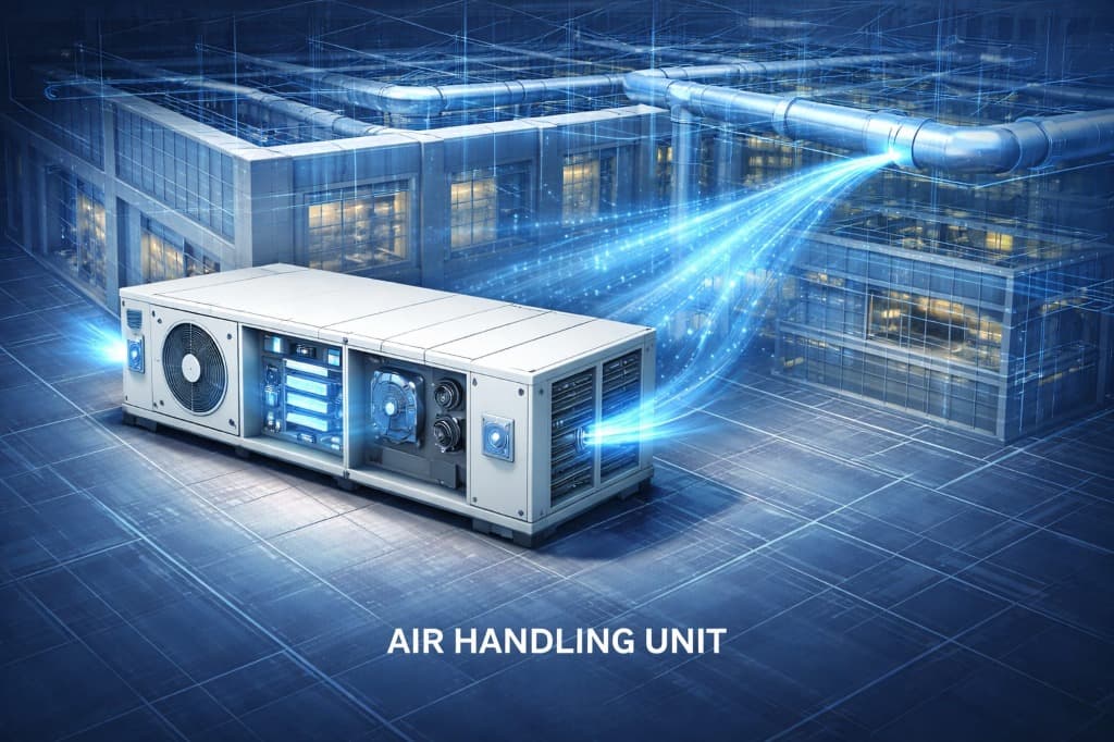
MEP & HVAC BIM Modeling
Detailed mechanical, electrical, and plumbing system models including HVAC and air handling units. Ensure constructability and system integration across all building services.
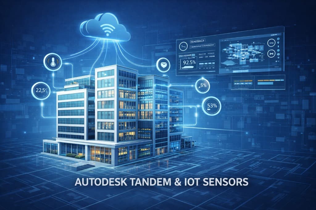
Digital Twin & IoT Integration
Connect physical assets to real-time data streams for operational intelligence. Integrate IoT sensors with building models using platforms like Autodesk Tandem for predictive maintenance and performance optimization.
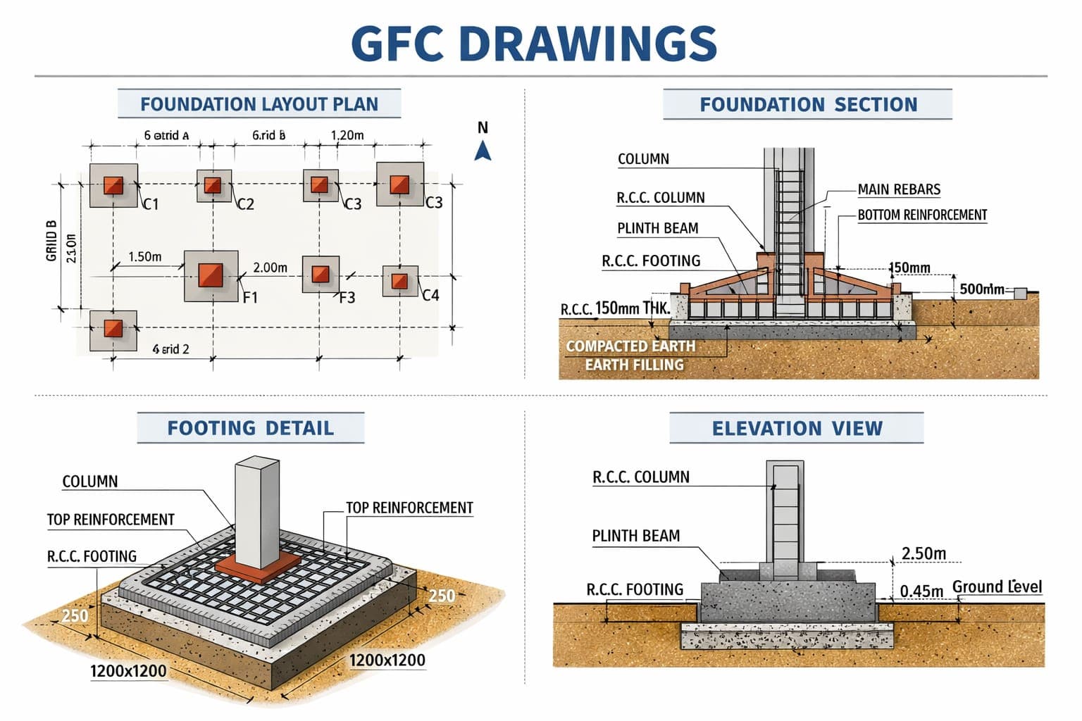
Construction Issue Drawings (GFC / IFC)
Coordinated construction documentation ready for fabrication and installation. Good for Construction (GFC) and Issued for Construction (IFC) drawings that minimize field conflicts.
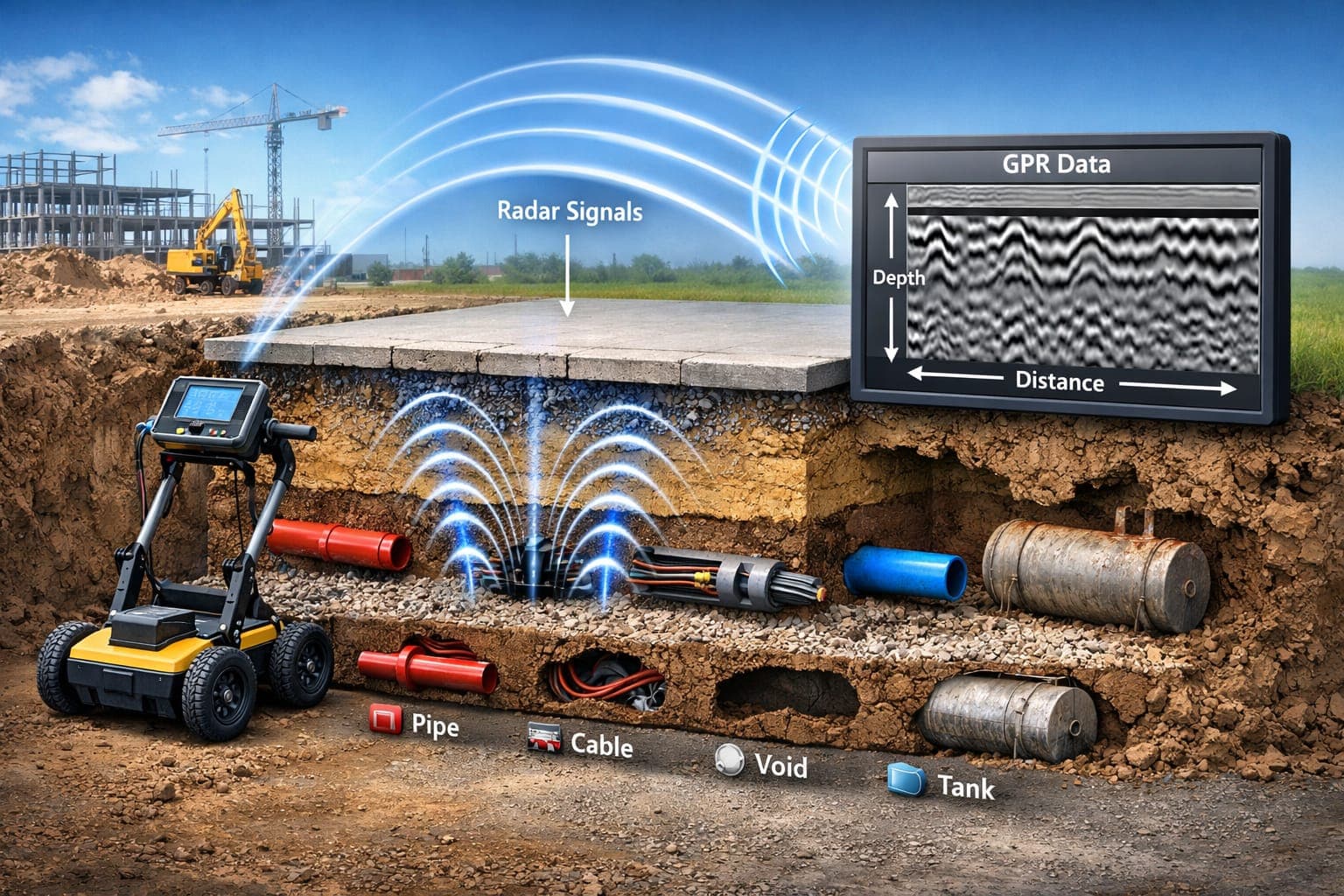
GPR & Subsurface Investigation
Ground Penetrating Radar surveys to locate hidden utilities, rebar, and subsurface structures. Prevent costly damage and delays by knowing what lies beneath before you dig.
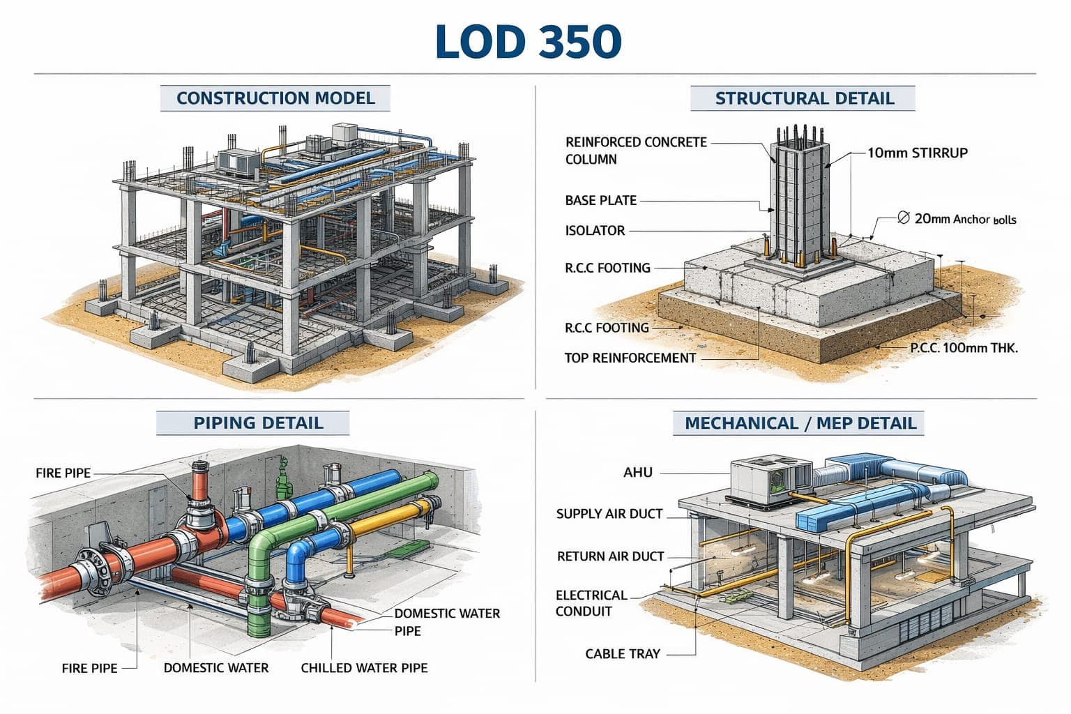
LOD-Based BIM Modeling (Up to LOD 500)
Level of Development modeling from conceptual (LOD 100) through as-built and operational (LOD 500). Match model detail to project phase requirements and information needs.
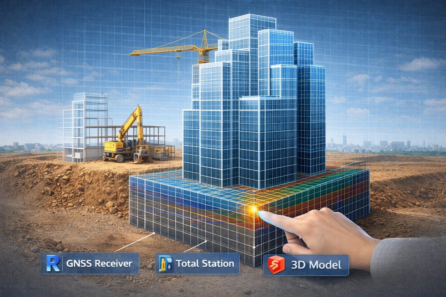
Scan to GIS
Integrate reality capture data with Geographic Information Systems for infrastructure and site planning. Bridge building-scale BIM with site-scale GIS for comprehensive project intelligence.